CGIAR Consortium for Spatial Information (CGIAR-CSI) is the geospatial science Community of Practice that facilitates CGIAR’s research using geospatial data and analysis. CGIAR-CSI coordinates community-wide activities to bring CGIAR’s spatial scientists together through collaborative research, capacity building, communications, developing geospatial datasets and publications, and convening of various events to share learning and represent CGIAR in the geospatial domain of expertise.
What We Do, Why
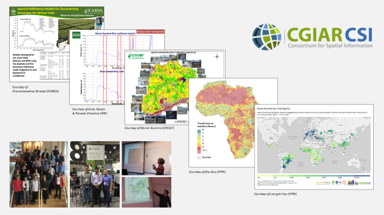
Advances in geospatial data science provide CGIAR with a new opportunity to accelerate research and impacts. High-resolution remote sensing and GIS data help researchers to work more efficiently and effectively. We map agricultural production, spatially target investments, monitor weather effects, and climate impacts. Adding location context leads to spur innovations in agricultural research and development, more relevant to the smallholder farmers at the local level. While it is becoming easier to find and use geospatial data, there are still fundamental challenges in remote areas where measurement on the ground is not easy. Limited groundtruthing data can lead to a high degree of uncertainties and estimation biases in the analysis output. Until this inherent challenge is resolved, we believe the best way to keep up our research standards and relevance will be through the Community of Practice. It is where our collective knowledge thrives and propagates through collaboration and communication with fellow scientists. Not everything we need is in the publication or even the Internet. For many aspects of the unique challenges we face, we find our colleagues are the best resource. We help each other share learnings, inspire innovations, explore new techniques, and collectively support CGIAR’s agenda.
Community Members
Members of CGIAR-CSI include all geospatial scientists across CGIAR. Community-wide activities are coordinated by the Global Coordinator. Center-level activities are coordinated by the Center Representative. Currently (as of October 2017), CGIAR-CSI reaches to 90 members across all 15 CGIAR Centers. If you use geospatial data and analyses in CGIAR, join our community!
Community Partners
We work closely with our external partners in academia, donors, and public/private sectors – including ITC, Esri, Digital Globe, and Geospatial and Farming Systems Research Consortium.

You must be logged in to post a comment.